
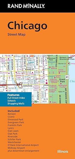
Rand McNally Folded Map: Chicago Street Map
$9.99
- Regularly updated, full-color maps
- Clearly labeled Interstate, U.S., state, and county highways
- Indications of parks, points of interest, airports, county boundaries, schools, shopping malls, downtown & vicinity maps
- Easy-to-use legend
- Detailed index & full street index
- Copyright 2023
- Measures 9.5″ x 4″ and folds out to 40″ x 28″
User Reviews
Only logged in customers who have purchased this product may leave a review.


There are no reviews yet.